-
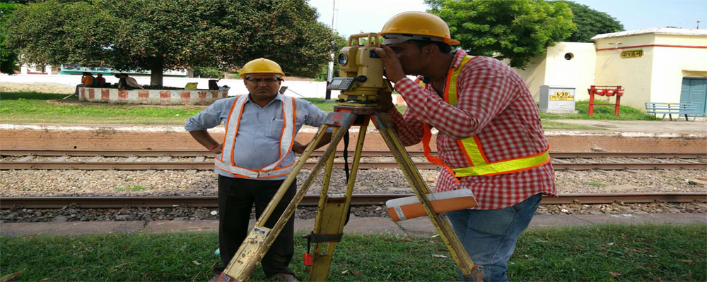 Balaji Surveyors Pvt. Ltd.Topographical & Final Location Survey of Eastern DFCC
 -
 Balaji Surveyors Pvt. Ltd.Leveling Survey from Ahmadabad to Rajkot
 -
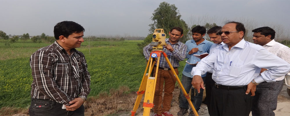
 Balaji Surveyors Pvt. Ltd.Agra land Parcel
 -
 Balaji Surveyors Pvt. Ltd.Dam Survey, Khamman (A.P.)
 -
 Balaji Surveyors Pvt. Ltd.Command Area Survey at Hapur,Uttar Pradesh
 -
 Balaji Surveyors Pvt. Ltd.Maatli & Bhatwari, Uttarkashi
 -
 Balaji Surveyors Pvt. Ltd.Bathymetric Survey at River Ganga Munger, Bihar
 -
 Balaji Surveyors Pvt. Ltd.Irrigation Project, Moradabad, U.P.
 -
 Balaji Surveyors Pvt. Ltd.Lower Ganga Canal, Aligarh, U.P.
Services
Land Surveying, an art and science of measuring and mapping the relative positions above, on or under the surface of the ground, this traditional art of science and mathematics has undergone different stages of a revolution in the way data is collected, stored, retrieved and processed for the output.
We provide Topographic, drone and lidar Survey and related services for all type of industries. Platform, DGPS, World's Top Brand Total Stations, Digital Levels and Data Processing Software
Topographical Survey & Mapping
Bathymetric & Hydro Graphical Survey
Traversing & Leveling
Detailed, Drone and Lidar Survey
Why choose us
Balaji Surveyors Pvt. Ltd. is a premier Land surveying company who has worked with land mark projects. We have grown from strength to strength, scaling new frontiers, gaining experience and confidence of our esteemed clients.
Ours is a small, nimble and responsive organization with total focus on Client and Delivery.
Spot decision making capability and lack of bureaucracy ensures timely results.